 vesseltracker.com
 AS NINA
Current Status
Where is the vessel?
AS NINA is currently in 30 nm SE of GRAN TARAJAL, based on AIS data received about 2h ago.
Latest AIS update:
Current position: 27.74570° N, 13.79907° W (30 nm SE of GRAN TARAJAL)
Average speed (last 7 days): Loading…
Average speed (last 30 days): Loading…
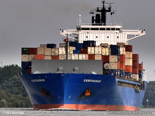
Vessel profile: AS NINA is a Container Ship with dimensions m x m.
This page combines live AIS, route history, probable destination signals, nearby traffic, and port activity for practical vessel monitoring.
The current position of vessel AS NINA is 27.74570 lat / -13.79907 lng. Updated: 2026-04-21 10:36:12 UTCNearest reference points:
- Near Aaiun
- Near LAS COLORADAS
- Near Lanzarote
Currently sailing under the flag of Marshall Islands ![]()
Details:
Live Vessel AS NINA Analytics (details, animations, etc.)
Recent AIS points (UTC):
2026-04-21 06:56:55 UTC · 26.82507, -14.51626 · SOG 18.4 kn · COG 38°2026-04-21 09:52:11 UTC · 27.55608, -13.94734 · SOG 18.7 kn · COG 37°
2026-04-21 10:26:01 UTC · 27.70254, -13.83288 · SOG 18.8 kn · COG 37°
2026-04-21 10:36:12 UTC · 27.74570, -13.79907 · SOG 18.9 kn · COG 37°