 vesseltracker.com
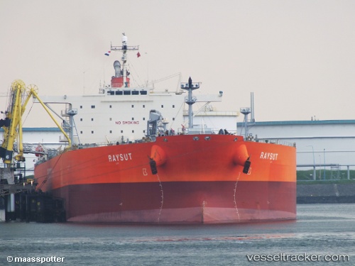
 Raysut
Current Status
Where is the vessel?
Raysut is currently in 24 nm SW of Benijofar, based on AIS data received less than 1h ago.
Latest AIS update:
Current position: 37.77413° N, 0.40127° E (24 nm SW of Benijofar)
Average speed (last 7 days): Loading…
Average speed (last 30 days): Loading…
Vessel profile: Raysut is a Crude Oil Tanker with dimensions 244m x 42m.
This page combines live AIS, route history, probable destination signals, nearby traffic, and port activity for practical vessel monitoring.
The current position of vessel Raysut is 37.77413 lat / 0.40127 lng. Updated: 2026-04-05 21:30:45 UTCNearest reference points:
- Near Villajoyosa
- Near MORAIRA
- Near Ventas de Pedreguer
Currently sailing under the flag of Panama ![]()
Raysut built in 2009 year
Deadweight:
114995 tDetails:
Live Vessel Raysut Analytics (details, animations, etc.)
Recent AIS points (UTC):
2026-04-05 16:12:51 UTC · 38.92510, 0.80990 · SOG 12.7 kn · COG 204°2026-04-05 17:43:11 UTC · 38.61118, 0.68855 · SOG 13.2 kn · COG 197°
2026-04-05 19:38:42 UTC · 38.18662, 0.54040 · SOG 13.8 kn · COG 194°
2026-04-05 21:30:45 UTC · 37.77413, 0.40127 · SOG 13.4 kn · COG 195°