 vesseltracker.com
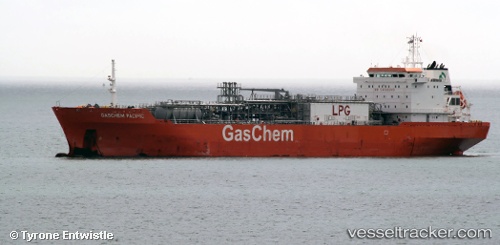
 NAVIGATOR VESTA
Current Status
Where is the vessel?
NAVIGATOR VESTA is currently in Near Morgan Point, based on AIS data received about 1h ago.
Latest AIS update:
Current position: 29.66732° N, 94.97532° W (Near Morgan Point)
Average speed (last 7 days): Loading…
Average speed (last 30 days): Loading…
Vessel profile: NAVIGATOR VESTA is a Lpg Tanker with dimensions m x m.
This page combines live AIS, route history, probable destination signals, nearby traffic, and port activity for practical vessel monitoring.
The current position of vessel NAVIGATOR VESTA is 29.66732 lat / -94.97532 lng. Updated: 2026-03-28 21:55:48 UTCNearest reference points:
- Near Morgan Point
- Near Shoreacres
- Near Clear Lake Shores
Currently sailing under the flag of Liberia ![]()
Details:
Live Vessel NAVIGATOR VESTA Analytics (details, animations, etc.)
Recent AIS points (UTC):
2026-03-28 15:35:21 UTC · 29.28271, -94.52435 · SOG 0.5 kn · COG 75°2026-03-28 18:00:54 UTC · 29.28299, -94.52450 · SOG 0 kn · COG -1°
2026-03-28 19:33:44 UTC · 29.28779, -94.58311 · SOG 11 kn · COG 284°
2026-03-28 21:55:48 UTC · 29.66732, -94.97532 · SOG 10.9 kn · COG 344°