 vesseltracker.com
 BHUDTHI BHUM
Current Status
Where is the vessel?
BHUDTHI BHUM is currently in Near Wu-Sung, based on AIS data received less than 1h ago.
Latest AIS update:
Current position: 31.37475° N, 121.58093° E (Near Wu-Sung)
Average speed (last 7 days): Loading…
Average speed (last 30 days): Loading…
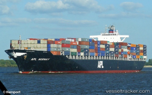
Vessel profile: BHUDTHI BHUM is a Container Ship with dimensions 295m x 295m.
This page combines live AIS, route history, probable destination signals, nearby traffic, and port activity for practical vessel monitoring.
The current position of vessel BHUDTHI BHUM is 31.37475 lat / 121.58093 lng. Updated: 2026-04-18 19:41:42 UTCNearest reference points:
- Near Wu-Sung
- Near Jinqiao
- Near Gonglu
Currently sailing under the flag of Singapore ![]()
BHUDTHI BHUM built in 2007 year
Deadweight:
72807 tDetails:
Live Vessel BHUDTHI BHUM Analytics (details, animations, etc.)
Recent AIS points (UTC):
2026-04-18 13:52:32 UTC · 31.24409, 122.01639 · SOG 12.1 kn · COG 282°2026-04-18 16:08:31 UTC · 31.38194, 121.58789 · SOG 3.3 kn · COG 171°
2026-04-18 17:39:37 UTC · 31.37467, 121.58097 · SOG 0 kn · COG 117°
2026-04-18 19:41:42 UTC · 31.37475, 121.58093 · SOG 0 kn · COG 117°