 vesseltracker.com
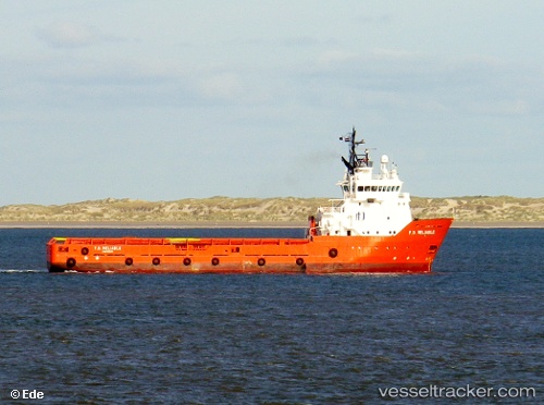
Skipsey Tide
Current StatusWhere is the vessel?
Skipsey Tide is currently in Near Ad Dammam, based on AIS data received less than 1h ago.
Latest AIS update:
Current position: 26.48833° N, 50.21167° E (Near Ad Dammam)
Average speed (last 7 days): Loading…
Average speed (last 30 days): Loading…
Vessel profile: Skipsey Tide is a Fire Fighting Vessel with dimensions 16m x 72m.
This page combines live AIS, route history, probable destination signals, nearby traffic, and port activity for practical vessel monitoring.
The current position of vessel Skipsey Tide is 26.48833 lat / 50.21167 lng. Updated: 2026-03-30 19:48:09 UTCNearest reference points:
- Near Ad Dammam
- Near DAMMAM
- Near Sayhat
Details:
Live Vessel Skipsey Tide Analytics (details, animations, etc.)
Recent AIS points (UTC):
2026-03-30 14:17:00 UTC · 26.48920, 50.21229 · SOG 0.7 kn · COG 283°2026-03-30 16:08:00 UTC · 26.48923, 50.21221 · SOG 0.2 kn · COG 283°
2026-03-30 17:59:02 UTC · 26.48925, 50.21225 · SOG 0.7 kn · COG 282°
2026-03-30 19:48:09 UTC · 26.48833, 50.21167 · SOG 1 kn · COG -1°