 vesseltracker.com
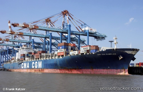
 CMA CGM RABELAIS
Current Status
Where is the vessel?
CMA CGM RABELAIS is currently in Near Sociedad Portuaria Regional Cartagena, based on AIS data received less than 1h ago.
Latest AIS update:
Current position: 10.40542° N, 75.53568° W (Near Sociedad Portuaria Regional Cartagena)
Average speed (last 7 days): Loading…
Average speed (last 30 days): Loading…
Vessel profile: CMA CGM RABELAIS is a Container Ship with dimensions 300m x 40m.
This page combines live AIS, route history, probable destination signals, nearby traffic, and port activity for practical vessel monitoring.
The current position of vessel CMA CGM RABELAIS is 10.40542 lat / -75.53568 lng. Updated: 2026-04-19 15:31:35 UTCNearest reference points:
- Near Sociedad Portuaria Regional Cartagena
- Near Contecar
- Near Santa Marta
Currently sailing under the flag of Malta ![]()
CMA CGM RABELAIS built in 2010 year
Deadweight:
83317 tDetails:
Live Vessel CMA CGM RABELAIS Analytics (details, animations, etc.)
Recent AIS points (UTC):
2026-04-19 11:55:46 UTC · 10.40538, -75.53570 · SOG 0 kn · COG 96°2026-04-19 13:37:39 UTC · 10.40538, -75.53570 · SOG 0 kn · COG 97°
2026-04-19 14:13:37 UTC · 10.40540, -75.53570 · SOG 0 kn · COG 97°
2026-04-19 15:31:35 UTC · 10.40542, -75.53568 · SOG 0 kn · COG 97°