 vesseltracker.com
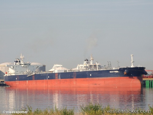
Sestrea
Current StatusWhere is the vessel?
Sestrea is currently in 240 nm W of Tinaquillo, based on AIS data received about 1h ago.
Latest AIS update:
Current position: 11.06738° N, 64.39826° E (240 nm W of Tinaquillo)
Average speed (last 7 days): Loading…
Average speed (last 30 days): Loading…
Vessel profile: Sestrea is a Crude Oil Tanker with dimensions 48m x 274m.
This page combines live AIS, route history, probable destination signals, nearby traffic, and port activity for practical vessel monitoring.
The current position of vessel Sestrea is 11.06738 lat / 64.39826 lng. Updated: 2026-03-26 09:14:47 UTCNearest reference points:
- Open sea, approx. 405 nm off the nearest listed port
- Open sea, approx. 402 nm off the nearest listed port
- Open sea, approx. 406 nm off the nearest listed port
Details:
Live Vessel Sestrea Analytics (details, animations, etc.)
Recent AIS points (UTC):
2026-03-26 03:41:01 UTC · 10.80996, 65.20614 · SOG 10.4 kn · COG 194°2026-03-26 06:09:48 UTC · 10.80341, 64.98833 · SOG 12.3 kn · COG 292°
2026-03-26 07:33:49 UTC · 10.91463, 64.72078 · SOG 12.6 kn · COG 298°
2026-03-26 09:14:47 UTC · 11.06738, 64.39826 · SOG 12.5 kn · COG 295°