 vesseltracker.com
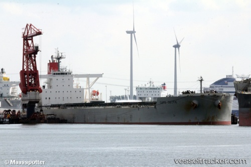
Cape Celtic
Current StatusWhere is the vessel?
Cape Celtic is currently in 84 nm N of Labuanbajo, based on AIS data received less than 1h ago.
Latest AIS update:
Current position: 1.28034° N, 119.61760° E (84 nm N of Labuanbajo)
Average speed (last 7 days): Loading…
Average speed (last 30 days): Loading…
Vessel profile: Cape Celtic is a Ore Carrier with dimensions 45m x 292m.
This page combines live AIS, route history, probable destination signals, nearby traffic, and port activity for practical vessel monitoring.
The current position of vessel Cape Celtic is 1.28034 lat / 119.61760 lng. Updated: 2026-04-01 22:01:43 UTCNearest reference points:
- 81 nm E of Muara Pantai
- 69 nm E of Kaliorang
- 29 nm W of Labuanbajo
Details:
Live Vessel Cape Celtic Analytics (details, animations, etc.)
Recent AIS points (UTC):
2026-04-01 14:02:09 UTC · 2.96222, 119.62903 · SOG 12.3 kn · COG -1°2026-04-01 14:02:09 UTC · 2.96222, 119.62903 · SOG 12.3 kn · COG -1°
2026-04-01 14:02:09 UTC · 2.96222, 119.62903 · SOG 12.3 kn · COG -1°
2026-04-01 22:01:43 UTC · 1.28034, 119.61760 · SOG 12.9 kn · COG 179°