 vesseltracker.com
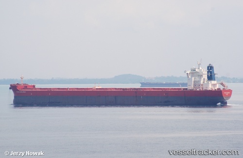
Haralambos
Current StatusWhere is the vessel?
Haralambos is currently in Near Caofeidian Pt, based on AIS data received about 1h ago.
Latest AIS update:
Current position: 38.91419° N, 118.50042° E (Near Caofeidian Pt)
Average speed (last 7 days): Loading…
Average speed (last 30 days): Loading…
Vessel profile: Haralambos is a Bulk Carrier with dimensions 45m x 292m.
This page combines live AIS, route history, probable destination signals, nearby traffic, and port activity for practical vessel monitoring.
The current position of vessel Haralambos is 38.91419 lat / 118.50042 lng. Updated: 2026-03-30 04:00:48 UTCNearest reference points:
- Near Caofeidian Pt
- Near CAOFEIDIAN
- 15 nm SE of Taku Bar
Details:
Live Vessel Haralambos Analytics (details, animations, etc.)
Recent AIS points (UTC):
2026-03-29 21:54:13 UTC · 38.87038, 118.61386 · SOG 0 kn · COG 300°2026-03-30 00:03:13 UTC · 38.86924, 118.60762 · SOG 0 kn · COG 59°
2026-03-30 01:27:15 UTC · 38.86961, 118.60672 · SOG 0 kn · COG 65°
2026-03-30 04:00:48 UTC · 38.91419, 118.50042 · SOG 0 kn · COG 271°