 vesseltracker.com
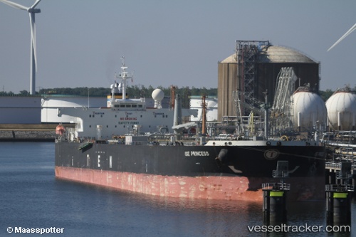
 NEPHIRA
Current Status
Where is the vessel?
NEPHIRA is currently in 28 nm N of Doraleh Container Terminal, based on AIS data received about 1h ago.
Latest AIS update:
Current position: 12.05728° N, 44.53505° E (28 nm N of Doraleh Container Terminal)
Average speed (last 7 days): Loading…
Average speed (last 30 days): Loading…
Vessel profile: NEPHIRA is a Crude Oil Tanker with dimensions m x m.
This page combines live AIS, route history, probable destination signals, nearby traffic, and port activity for practical vessel monitoring.
The current position of vessel NEPHIRA is 12.05728 lat / 44.53505 lng. Updated: 2026-04-15 11:33:53 UTCNearest reference points:
- Near Djibouti
Currently sailing under the flag of Panama ![]()
Details:
Live Vessel NEPHIRA Analytics (details, animations, etc.)
Recent AIS points (UTC):
2026-04-15 05:22:38 UTC · 12.50698, 43.51780 · SOG 9.8 kn · COG 117°2026-04-15 07:20:36 UTC · 12.36603, 43.83183 · SOG 10.4 kn · COG 115°
2026-04-15 09:54:23 UTC · 12.18145, 44.25607 · SOG 10.8 kn · COG 112°
2026-04-15 11:33:53 UTC · 12.05728, 44.53505 · SOG 10.7 kn · COG 115°