 vesseltracker.com
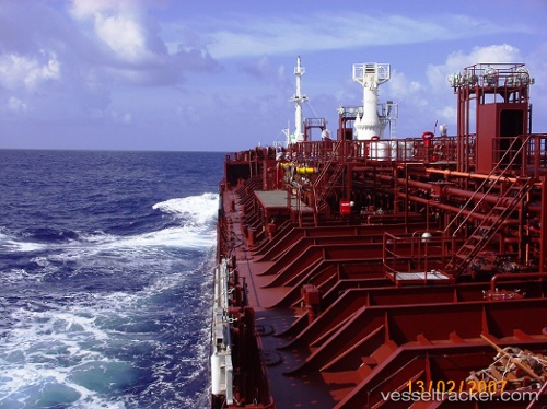
 MASIRAH
Current Status
Where is the vessel?
MASIRAH is currently in Near TUZLA, based on AIS data received less than 1h ago.
Latest AIS update:
Current position: 40.84127° N, 29.27043° E (Near TUZLA)
Average speed (last 7 days): Loading…
Average speed (last 30 days): Loading…
Vessel profile: MASIRAH is a Oil/Chemical Tanker with dimensions 127m x 20m.
This page combines live AIS, route history, probable destination signals, nearby traffic, and port activity for practical vessel monitoring.
The current position of vessel MASIRAH is 40.84127 lat / 29.27043 lng. Updated: 2026-04-18 03:59:22 UTCNearest reference points:
- Near TUZLA
- Near PENDIK
- Near Tuzla Free Zone
Currently sailing under the flag of Panama ![]()
MASIRAH built in 2007 year
Deadweight:
12885 tDetails:
Live Vessel MASIRAH Analytics (details, animations, etc.)
Recent AIS points (UTC):
2026-04-17 21:29:24 UTC · 40.84177, 29.27038 · SOG 0 kn · COG 59°2026-04-17 23:56:25 UTC · 40.84177, 29.27028 · SOG 0 kn · COG 59°
2026-04-18 01:47:22 UTC · 40.84170, 29.27050 · SOG 0 kn · COG 59°
2026-04-18 03:59:22 UTC · 40.84127, 29.27043 · SOG 0 kn · COG 59°