 vesseltracker.com
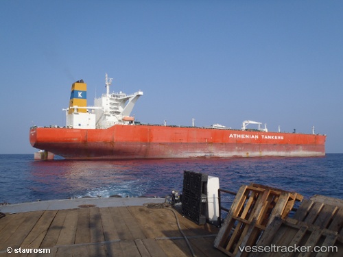
 BALTIC LOYALTY
Current Status
Where is the vessel?
BALTIC LOYALTY is currently in 154 nm SE of South Padre Island, based on AIS data received about 1d ago.
Latest AIS update:
Current position: 24.79500° N, 94.70833° W (154 nm SE of South Padre Island)
Average speed (last 7 days): Loading…
Average speed (last 30 days): Loading…
Vessel profile: BALTIC LOYALTY is a Crude Oil Tanker with dimensions 60m x 333m.
This page combines live AIS, route history, probable destination signals, nearby traffic, and port activity for practical vessel monitoring.
The current position of vessel BALTIC LOYALTY is 24.79500 lat / -94.70833 lng. Updated: 2026-04-10 07:30:12 UTCCurrently sailing under the flag of Liberia ![]()
BALTIC LOYALTY built in 2010 year
Deadweight:
317441 tDetails:
Live Vessel BALTIC LOYALTY Analytics (details, animations, etc.)
Recent AIS points (UTC):
2026-04-10 02:24:10 UTC · 24.84166, -94.57833 · SOG 1 kn · COG -1°2026-04-10 04:21:08 UTC · 24.82333, -94.62667 · SOG 1 kn · COG -1°
2026-04-10 05:27:10 UTC · 24.81333, -94.65500 · SOG 1 kn · COG -1°
2026-04-10 07:30:12 UTC · 24.79500, -94.70833 · SOG 1 kn · COG -1°