 OCEAN THUNDER
Current Status
Where is the vessel?
OCEAN THUNDER is currently in 72 nm S of AL MUKALLA, based on AIS data received about 14h ago.
Latest AIS update:
Current position: 13.38689° N, 49.53168° E (72 nm S of AL MUKALLA)
Average speed (last 7 days): Loading…
Average speed (last 30 days): Loading…
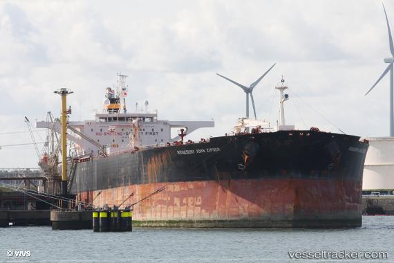
Vessel profile: OCEAN THUNDER is a Crude Oil Tanker with dimensions m x m.
This page combines live AIS, route history, probable destination signals, nearby traffic, and port activity for practical vessel monitoring.
The current position of vessel OCEAN THUNDER is 13.38689 lat / 49.53168 lng. Updated: 2026-05-23 21:59:57 UTCCurrently sailing under the flag of Panama ![]()
Details:
Live Vessel OCEAN THUNDER Analytics (details, animations, etc.)
Recent AIS points (UTC):
2026-05-23 19:22:15 UTC · 13.57500, 50.15167 · SOG 14 kn · COG -1°2026-05-23 19:28:17 UTC · 13.56833, 50.12833 · SOG 14 kn · COG -1°
2026-05-23 21:25:16 UTC · 13.42500, 49.66500 · SOG 14 kn · COG -1°
2026-05-23 21:59:57 UTC · 13.38689, 49.53168 · SOG 14.1 kn · COG 253°