 vesseltracker.com
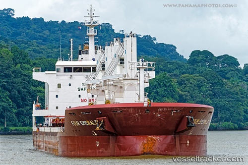
 LADY SINEM
Current Status
Where is the vessel?
LADY SINEM is currently in 174 nm NE of Munshiganj, based on AIS data received about 7h ago.
Latest AIS update:
Current position: 25.24667° N, 87.95400° W (174 nm NE of Munshiganj)
Average speed (last 7 days): Loading…
Average speed (last 30 days): Loading…
Vessel profile: LADY SINEM is a General Cargo Ship with dimensions 30m x 180m.
This page combines live AIS, route history, probable destination signals, nearby traffic, and port activity for practical vessel monitoring.
The current position of vessel LADY SINEM is 25.24667 lat / -87.95400 lng. Updated: 2026-04-17 00:06:11 UTCCurrently sailing under the flag of Marshall Islands ![]()
LADY SINEM built in 2013 year
Deadweight:
38009 tDetails:
Live Vessel LADY SINEM Analytics (details, animations, etc.)
Recent AIS points (UTC):
2026-04-17 00:06:11 UTC · 25.24667, -87.95400 · SOG 1.9 kn · COG 338°2026-04-17 00:06:11 UTC · 25.24667, -87.95400 · SOG 1.9 kn · COG 338°
2026-04-17 00:06:11 UTC · 25.24667, -87.95400 · SOG 1.9 kn · COG 338°
2026-04-17 00:06:11 UTC · 25.24667, -87.95400 · SOG 1.9 kn · COG 338°