 vesseltracker.com
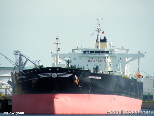
 Chrysanthemum
Current Status
Where is the vessel?
Chrysanthemum is currently in Near Giammoro, based on AIS data received about 2h ago.
Latest AIS update:
Current position: 38.23121° N, 15.32233° E (Near Giammoro)
Average speed (last 7 days): Loading…
Average speed (last 30 days): Loading…
Vessel profile: Chrysanthemum is a Crude Oil Tanker with dimensions 244m x 42m.
This page combines live AIS, route history, probable destination signals, nearby traffic, and port activity for practical vessel monitoring.
The current position of vessel Chrysanthemum is 38.23121 lat / 15.32233 lng. Updated: 2026-03-27 23:36:17 UTCNearest reference points:
- Near Milazzo
- 13 nm N of Rometta Marea
- Near TREMESTIERI
Currently sailing under the flag of Bahamas ![]()
Chrysanthemum built in 2009 year
Deadweight:
105187 tDetails:
Live Vessel Chrysanthemum Analytics (details, animations, etc.)
Recent AIS points (UTC):
2026-03-27 17:51:18 UTC · 38.23139, 15.32384 · SOG 0.2 kn · COG 317°2026-03-27 20:03:19 UTC · 38.23160, 15.32415 · SOG 0.2 kn · COG 309°
2026-03-27 21:30:19 UTC · 38.23153, 15.32357 · SOG 0.1 kn · COG 313°
2026-03-27 23:36:17 UTC · 38.23121, 15.32233 · SOG 0.1 kn · COG 335°