 vesseltracker.com
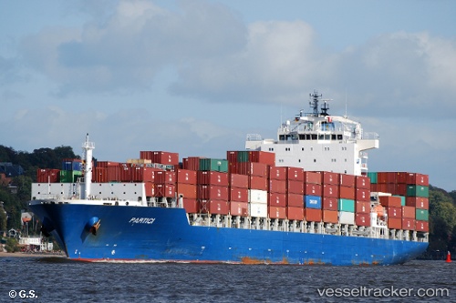
 WADI DUKA
Current Status
Where is the vessel?
WADI DUKA is currently in 40 nm SW of Veraval, based on AIS data received less than 1h ago.
Latest AIS update:
Current position: 20.45348° N, 69.81513° E (40 nm SW of Veraval)
Average speed (last 7 days): Loading…
Average speed (last 30 days): Loading…
Vessel profile: WADI DUKA is a Container Ship with dimensions 231m x 31m.
This page combines live AIS, route history, probable destination signals, nearby traffic, and port activity for practical vessel monitoring.
The current position of vessel WADI DUKA is 20.45348 lat / 69.81513 lng. Updated: 2026-04-19 16:25:56 UTCNearest reference points:
- 33 nm S of Mul Dwårka
- 54 nm S of Positra
- 49 nm S of Positra
Currently sailing under the flag of Marshall Is ![]()
WADI DUKA built in 2010 year
Deadweight:
41974 tDetails:
Live Vessel WADI DUKA Analytics (details, animations, etc.)
Recent AIS points (UTC):
2026-04-19 11:23:47 UTC · 20.30072, 69.94647 · SOG 0.8 kn · COG 24°2026-04-19 13:03:17 UTC · 20.29361, 69.97100 · SOG 0.8 kn · COG 24°
2026-04-19 13:33:08 UTC · 20.29211, 69.97773 · SOG 0.7 kn · COG 21°
2026-04-19 16:25:56 UTC · 20.45348, 69.81513 · SOG 9.2 kn · COG 345°