 vesseltracker.com
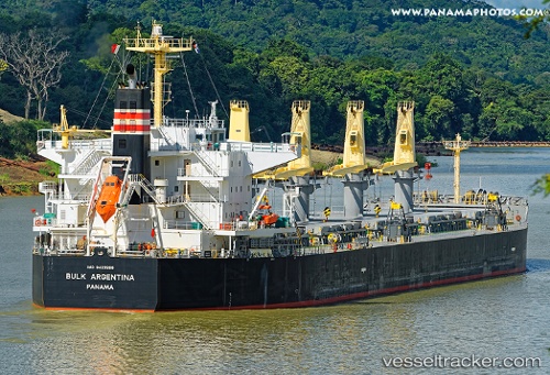
Arosa
Current StatusWhere is the vessel?
Arosa is currently in Near Conakry Eco, based on AIS data received less than 1h ago.
Latest AIS update:
Current position: 9.39500° N, 13.70167° W (Near Conakry Eco)
Average speed (last 7 days): Loading…
Average speed (last 30 days): Loading…
Vessel profile: Arosa is a Bulk Carrier with dimensions 32m x 190m.
This page combines live AIS, route history, probable destination signals, nearby traffic, and port activity for practical vessel monitoring.
The current position of vessel Arosa is 9.39500 lat / -13.70167 lng. Updated: 2026-04-17 22:14:43 UTCNearest reference points:
- Near Conakry
- 28 nm S of Conakry
- 49 nm S of Port de Boké
Details:
Live Vessel Arosa Analytics (details, animations, etc.)
Recent AIS points (UTC):
2026-04-17 15:55:07 UTC · 9.39817, -13.70265 · SOG 0 kn · COG 232°2026-04-17 17:34:09 UTC · 9.39853, -13.70300 · SOG 0 kn · COG 222°
2026-04-17 19:56:42 UTC · 9.39833, -13.70167 · SOG 0 kn · COG -1°
2026-04-17 22:14:43 UTC · 9.39500, -13.70167 · SOG 0 kn · COG -1°