 vesseltracker.com
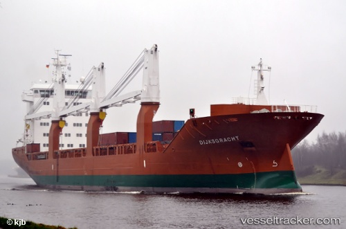
 Dijksgracht
Current Status
Where is the vessel?
Dijksgracht is currently in 36 nm SE of Mtwara, based on AIS data received about 3h ago.
Latest AIS update:
Current position: 10.75943° S, 40.56141° E (36 nm SE of Mtwara)
Average speed (last 7 days): Loading…
Average speed (last 30 days): Loading…
Vessel profile: Dijksgracht is a General Cargo Ship with dimensions 157m x 157m.
This page combines live AIS, route history, probable destination signals, nearby traffic, and port activity for practical vessel monitoring.
The current position of vessel Dijksgracht is -10.75943 lat / 40.56141 lng. Updated: 2026-04-05 04:07:55 UTCNearest reference points:
- Near Mtwara
- 64 nm NE of Mtwara
Currently sailing under the flag of Netherlands ![]()
Dijksgracht built in 2008 year
Deadweight:
17381 tDetails:
Live Vessel Dijksgracht Analytics (details, animations, etc.)
Recent AIS points (UTC):
2026-04-04 22:52:56 UTC · -10.75880, 40.56016 · SOG 0 kn · COG 191°2026-04-05 00:28:50 UTC · -10.75892, 40.56055 · SOG 0 kn · COG 207°
2026-04-05 02:34:51 UTC · -10.75938, 40.56135 · SOG 0.1 kn · COG 246°
2026-04-05 04:07:55 UTC · -10.75943, 40.56141 · SOG 0 kn · COG 245°