 vesseltracker.com
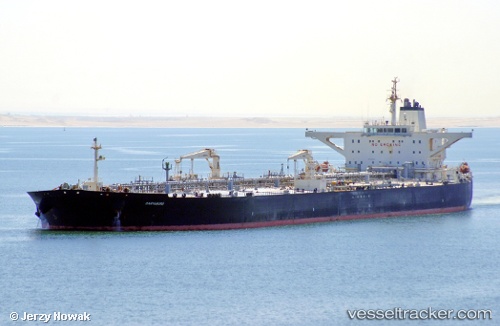
 COMPASS
Current Status
Where is the vessel?
COMPASS is currently in 138 nm SW of Positra, based on AIS data received about 1d ago.
Latest AIS update:
Current position: 20.61355° N, 67.60404° E (138 nm SW of Positra)
Average speed (last 7 days): Loading…
Average speed (last 30 days): Loading…
Vessel profile: COMPASS is a Tanker with dimensions m x m.
This page combines live AIS, route history, probable destination signals, nearby traffic, and port activity for practical vessel monitoring.
The current position of vessel COMPASS is 20.61355 lat / 67.60404 lng. Updated: 2026-04-10 07:07:58 UTCNearest reference points:
- 54 nm S of Positra
- 49 nm S of Positra
- 13 nm W of Måndvi
Currently sailing under the flag of India ![]()
Details:
Live Vessel COMPASS Analytics (details, animations, etc.)
Recent AIS points (UTC):
2026-04-10 01:45:39 UTC · 20.68006, 67.58445 · SOG 0.6 kn · COG 148°2026-04-10 03:39:09 UTC · 20.65615, 67.58741 · SOG 0.7 kn · COG 147°
2026-04-10 05:57:58 UTC · 20.63108, 67.60126 · SOG 0.8 kn · COG 135°
2026-04-10 07:07:58 UTC · 20.61355, 67.60404 · SOG 0.7 kn · COG 101°