 vesseltracker.com
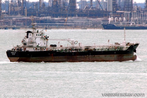
Marine Ista
Current StatusWhere is the vessel?
Marine Ista is currently in 16 nm S of Kiamari, based on AIS data received less than 1h ago.
Latest AIS update:
Current position: 24.55746° N, 66.94219° E (16 nm S of Kiamari)
Average speed (last 7 days): Loading…
Average speed (last 30 days): Loading…
Vessel profile: Marine Ista is a Oil Products Tanker with dimensions 19m x 103m.
This page combines live AIS, route history, probable destination signals, nearby traffic, and port activity for practical vessel monitoring.
The current position of vessel Marine Ista is 24.55746 lat / 66.94219 lng. Updated: 2026-04-15 13:28:34 UTCNearest reference points:
- 16 nm S of Kiamari
- Near Kiamari
- Near PORT QASIM
Details:
Live Vessel Marine Ista Analytics (details, animations, etc.)
Recent AIS points (UTC):
2026-04-15 07:50:11 UTC · 24.55274, 66.96449 · SOG 0.1 kn · COG -1°2026-04-15 10:16:46 UTC · 24.55292, 66.96455 · SOG 0 kn · COG 283°
2026-04-15 11:43:32 UTC · 24.55746, 66.94220 · SOG 0.2 kn · COG 266°
2026-04-15 13:28:34 UTC · 24.55746, 66.94219 · SOG 0.1 kn · COG 266°