 vesseltracker.com
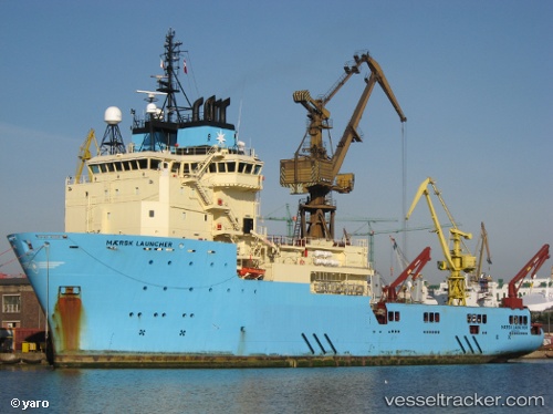
 Maersk Launcher
Current Status
Where is the vessel?
Maersk Launcher is currently in Near NITEROI, based on AIS data received about 1h ago.
Latest AIS update:
Current position: 22.84131° S, 43.14457° W (Near NITEROI)
Average speed (last 7 days): Loading…
Average speed (last 30 days): Loading…
Vessel profile: Maersk Launcher is a Offshore Tug Supply Ship with dimensions 90m x 23m.
This page combines live AIS, route history, probable destination signals, nearby traffic, and port activity for practical vessel monitoring.
The current position of vessel Maersk Launcher is -22.84131 lat / -43.14457 lng. Updated: 2026-04-20 05:28:35 UTCNearest reference points:
- Near NITEROI
- Near Rio De Janeiro
- Near Santos Dumont Apt/Rio de Janeiro
Currently sailing under the flag of Denmark ![]()
Maersk Launcher built in 2010 year
Deadweight:
2912 tDetails:
Live Vessel Maersk Launcher Analytics (details, animations, etc.)
Recent AIS points (UTC):
2026-04-20 01:28:23 UTC · -22.84203, -43.14500 · SOG 0 kn · COG 4°2026-04-20 03:34:30 UTC · -22.84183, -43.14493 · SOG 0 kn · COG 24°
2026-04-20 04:16:32 UTC · -22.84140, -43.14477 · SOG 0 kn · COG 203°
2026-04-20 05:28:35 UTC · -22.84131, -43.14457 · SOG 0 kn · COG 216°