 vesseltracker.com
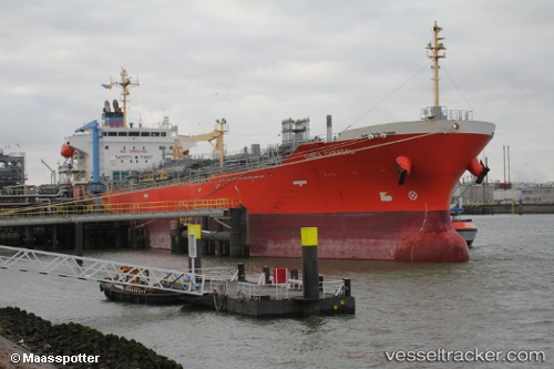
Ginga Caracal
Current StatusWhere is the vessel?
Ginga Caracal is currently in 44 nm S of Richards Bay, based on AIS data received less than 1h ago.
Latest AIS update:
Current position: 29.53724° S, 32.45151° E (44 nm S of Richards Bay)
Average speed (last 7 days): Loading…
Average speed (last 30 days): Loading…
Vessel profile: Ginga Caracal is a Chemical Oil Products Tanker with dimensions 27m x 154m.
This page combines live AIS, route history, probable destination signals, nearby traffic, and port activity for practical vessel monitoring.
The current position of vessel Ginga Caracal is -29.53724 lat / 32.45151 lng. Updated: 2026-04-02 15:39:30 UTCNearest reference points:
- 42 nm E of Richards Bay
- Near Umhlanga Rocks
- Near Durban
Details:
Live Vessel Ginga Caracal Analytics (details, animations, etc.)
Recent AIS points (UTC):
2026-04-02 09:44:53 UTC · -28.41422, 33.44227 · SOG 14 kn · COG 214°2026-04-02 12:12:14 UTC · -28.88759, 33.03991 · SOG 14.4 kn · COG 219°
2026-04-02 13:34:33 UTC · -29.15697, 32.82368 · SOG 14.2 kn · COG 219°
2026-04-02 15:39:30 UTC · -29.53724, 32.45151 · SOG 14.6 kn · COG 224°