 vesseltracker.com
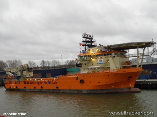
Ile Douessant
Current StatusWhere is the vessel?
Ile Douessant is currently in Near Las Galletas, based on AIS data received less than 1h ago.
Latest AIS update:
Current position: 27.95150° N, 16.65876° W (Near Las Galletas)
Average speed (last 7 days): Loading…
Average speed (last 30 days): Loading…
Vessel profile: Ile Douessant is a Offshore Tug Supply Ship with dimensions 19m x 87m.
This page combines live AIS, route history, probable destination signals, nearby traffic, and port activity for practical vessel monitoring.
The current position of vessel Ile Douessant is 27.95150 lat / -16.65876 lng. Updated: 2026-04-01 10:30:05 UTCNearest reference points:
- Near Las Galletas
- Near LOS CRISTIANOS
- 22 nm S of San Agustin
Details:
Live Vessel Ile Douessant Analytics (details, animations, etc.)
Recent AIS points (UTC):
2026-04-01 04:03:55 UTC · 27.94522, -16.65578 · SOG 0.1 kn · COG 44°2026-04-01 06:14:36 UTC · 27.92853, -16.64783 · SOG 0.6 kn · COG 50°
2026-04-01 07:32:15 UTC · 27.94132, -16.65390 · SOG 0.6 kn · COG 40°
2026-04-01 10:30:05 UTC · 27.95150, -16.65876 · SOG 0.7 kn · COG 51°