 vesseltracker.com
 MALONGO
Current Status
Where is the vessel?
MALONGO is currently in Near Luanda, based on AIS data received less than 1h ago.
Latest AIS update:
Current position: 8.72764° S, 13.31799° E (Near Luanda)
Average speed (last 7 days): Loading…
Average speed (last 30 days): Loading…
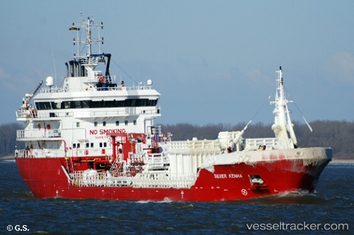
Vessel profile: MALONGO is a Oil/Chemical Tanker with dimensions m x m.
This page combines live AIS, route history, probable destination signals, nearby traffic, and port activity for practical vessel monitoring.
The current position of vessel MALONGO is -8.72764 lat / 13.31799 lng. Updated: 2026-04-17 15:59:24 UTCNearest reference points:
- Near Luanda
- Near Greater Plutonio
Currently sailing under the flag of Panama ![]()
Details:
Live Vessel MALONGO Analytics (details, animations, etc.)
Recent AIS points (UTC):
2026-04-17 10:11:21 UTC · -8.72881, 13.31660 · SOG 0.1 kn · COG 323°2026-04-17 12:17:21 UTC · -8.72828, 13.31743 · SOG 0.1 kn · COG 272°
2026-04-17 14:17:21 UTC · -8.72667, 13.31667 · SOG 0 kn · COG -1°
2026-04-17 15:59:24 UTC · -8.72764, 13.31799 · SOG 0.1 kn · COG 240°