 vesseltracker.com
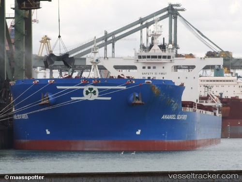
Anangel Seafarer
Current StatusWhere is the vessel?
Anangel Seafarer is currently in 26 nm SE of NELSON BAY, based on AIS data received less than 1h ago.
Latest AIS update:
Current position: 33.09745° S, 152.39975° E (26 nm SE of NELSON BAY)
Average speed (last 7 days): Loading…
Average speed (last 30 days): Loading…
Vessel profile: Anangel Seafarer is a Bulk Carrier with dimensions 45m x 292m.
This page combines live AIS, route history, probable destination signals, nearby traffic, and port activity for practical vessel monitoring.
The current position of vessel Anangel Seafarer is -33.09745 lat / 152.39975 lng. Updated: 2026-04-06 00:11:51 UTCNearest reference points:
- Near Caves Beach
- Near Warners Bay
- Near BILGOLA PLATEAU
Details:
Live Vessel Anangel Seafarer Analytics (details, animations, etc.)
Recent AIS points (UTC):
2026-04-05 17:46:58 UTC · -32.89573, 152.59962 · SOG 0.7 kn · COG 355°2026-04-05 20:08:38 UTC · -32.87393, 152.58044 · SOG 0.5 kn · COG 271°
2026-04-05 21:25:58 UTC · -32.87172, 152.57504 · SOG 0.2 kn · COG 276°
2026-04-06 00:11:51 UTC · -33.09745, 152.39975 · SOG 7.9 kn · COG 199°