 vesseltracker.com
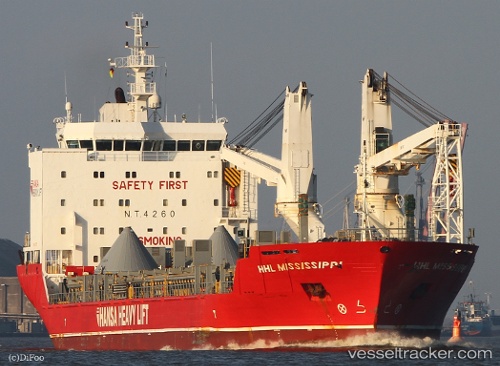
Houtmangracht
Current StatusWhere is the vessel?
Houtmangracht is currently in 22 nm SE of Nam Hai Dinh Vu Port, based on AIS data received about 1h ago.
Latest AIS update:
Current position: 20.49667° N, 107.05167° E (22 nm SE of Nam Hai Dinh Vu Port)
Average speed (last 7 days): Loading…
Average speed (last 30 days): Loading…
Vessel profile: Houtmangracht is a Heavy Load Carrier with dimensions 21m x 136m.
This page combines live AIS, route history, probable destination signals, nearby traffic, and port activity for practical vessel monitoring.
The current position of vessel Houtmangracht is 20.49667 lat / 107.05167 lng. Updated: 2026-03-27 15:44:00 UTCNearest reference points:
- 25 nm S of Nam Hai Dinh Vu Port
- 12 nm SE of Nam Hai Dinh Vu Port
- 14 nm SE of Nam Hai Dinh Vu Port
Details:
Live Vessel Houtmangracht Analytics (details, animations, etc.)
Recent AIS points (UTC):
2026-03-27 10:05:01 UTC · 20.36500, 107.10500 · SOG 0 kn · COG -1°2026-03-27 11:22:57 UTC · 20.36500, 107.10667 · SOG 0 kn · COG -1°
2026-03-27 13:42:54 UTC · 20.36534, 107.10713 · SOG 0.1 kn · COG -1°
2026-03-27 15:44:00 UTC · 20.49667, 107.05167 · SOG 14 kn · COG -1°