 vesseltracker.com
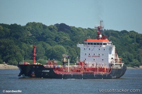
 GURONI
Current Status
Where is the vessel?
GURONI is currently in Near Nemrut Bay, based on AIS data received less than 1h ago.
Latest AIS update:
Current position: 38.78723° N, 26.91243° E (Near Nemrut Bay)
Average speed (last 7 days): Loading…
Average speed (last 30 days): Loading…
Vessel profile: GURONI is a Oil/Chemical Tanker with dimensions m x m.
This page combines live AIS, route history, probable destination signals, nearby traffic, and port activity for practical vessel monitoring.
The current position of vessel GURONI is 38.78723 lat / 26.91243 lng. Updated: 2026-04-13 02:32:32 UTCNearest reference points:
- Near Nemrut Bay
- Near NEMRUT
- Near Aliaga
Currently sailing under the flag of Turkey ![]()
Details:
Live Vessel GURONI Analytics (details, animations, etc.)
Recent AIS points (UTC):
2026-04-12 19:26:37 UTC · 38.78722, 26.91243 · SOG 0 kn · COG 268°2026-04-12 21:26:35 UTC · 38.78725, 26.91245 · SOG 0 kn · COG 268°
2026-04-12 23:59:38 UTC · 38.78724, 26.91246 · SOG 0 kn · COG 268°
2026-04-13 02:32:32 UTC · 38.78723, 26.91243 · SOG 0 kn · COG 268°