 vesseltracker.com
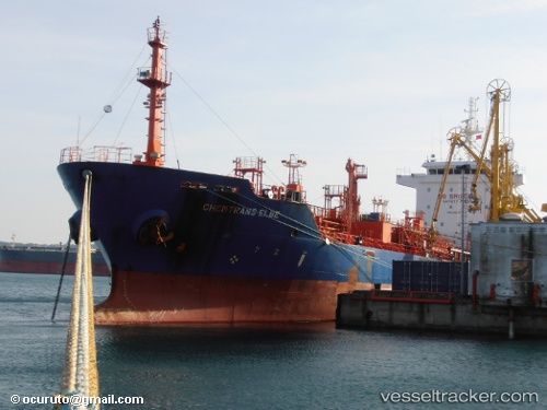
 GULF PETROLEUM 4
Current Status
Where is the vessel?
GULF PETROLEUM 4 is currently in Near Küçükçekmece, based on AIS data received less than 1h ago.
Latest AIS update:
Current position: 40.95689° N, 28.72562° E (Near Küçükçekmece)
Average speed (last 7 days): Loading…
Average speed (last 30 days): Loading…
Vessel profile: GULF PETROLEUM 4 is a Oil/Chemical Tanker with dimensions m x m.
This page combines live AIS, route history, probable destination signals, nearby traffic, and port activity for practical vessel monitoring.
The current position of vessel GULF PETROLEUM 4 is 40.95689 lat / 28.72562 lng. Updated: 2026-04-09 01:57:05 UTCNearest reference points:
- Near Küçükçekmece
- Near Ambarli
- Near Kumport
Currently sailing under the flag of Marshall Islands ![]()
Details:
Live Vessel GULF PETROLEUM 4 Analytics (details, animations, etc.)
Recent AIS points (UTC):
2026-04-08 17:44:14 UTC · 40.95738, 28.72523 · SOG 0.1 kn · COG 87°2026-04-08 20:11:17 UTC · 40.95797, 28.72561 · SOG 0 kn · COG 118°
2026-04-08 23:25:54 UTC · 40.95763, 28.72549 · SOG 0 kn · COG 97°
2026-04-09 01:57:05 UTC · 40.95689, 28.72562 · SOG 0 kn · COG 58°