 vesseltracker.com
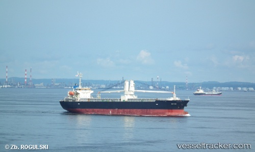
 Bayani
Current Status
Where is the vessel?
Bayani is currently in Near Yokohama, based on AIS data received about 341d ago.
Latest AIS update:
Current position: 35.44750° N, 139.68350° E (Near Yokohama)
Average speed (last 7 days): Loading…
Average speed (last 30 days): Loading…
Vessel profile: Bayani is a General Cargo Ship with dimensions 120m x 21m.
This page combines live AIS, route history, probable destination signals, nearby traffic, and port activity for practical vessel monitoring.
The current position of vessel Bayani is 35.44750 lat / 139.68350 lng. Updated: 2025-05-14 05:02:17 UTCNearest reference points:
- Near Yokohama
- Near Kawasaki
- Near Naka-Ku, Kanagawa
Currently sailing under the flag of Philippines ![]()
Bayani built in 2010 year
Deadweight:
12902 tDetails:
Live Vessel Bayani Analytics (details, animations, etc.)
Recent AIS points (UTC):
2025-05-14 05:02:17 UTC · 35.44750, 139.68350 · SOG 8 kn · COG 108°