 vesseltracker.com
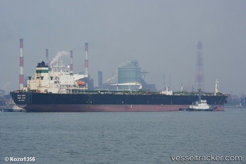
 NEMRUT
Current Status
Where is the vessel?
NEMRUT is currently in 394 nm W of Tinaquillo, based on AIS data received about 11h ago.
Latest AIS update:
Current position: 12.05168° N, 61.97397° E (394 nm W of Tinaquillo)
Average speed (last 7 days): Loading…
Average speed (last 30 days): Loading…
Vessel profile: NEMRUT is a Oil Products Tanker with dimensions m x m.
This page combines live AIS, route history, probable destination signals, nearby traffic, and port activity for practical vessel monitoring.
The current position of vessel NEMRUT is 12.05168 lat / 61.97397 lng. Updated: 2026-04-17 09:59:24 UTCNearest reference points:
- Open sea, approx. 400 nm off the nearest listed port
- Open sea, approx. 401 nm off the nearest listed port
- Open sea, approx. 403 nm off the nearest listed port
Currently sailing under the flag of Madagascar ![]()
Details:
Live Vessel NEMRUT Analytics (details, animations, etc.)
Recent AIS points (UTC):
2026-04-17 08:00:05 UTC · 12.21031, 61.59531 · SOG 12 kn · COG 112°2026-04-17 09:20:24 UTC · 12.10641, 61.85167 · SOG 12 kn · COG 115°
2026-04-17 09:59:24 UTC · 12.05168, 61.97397 · SOG 12.2 kn · COG 114°
2026-04-17 09:59:24 UTC · 12.05168, 61.97397 · SOG 12.2 kn · COG 114°