 vesseltracker.com
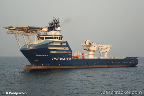
 NORTH SEA ENABLER
Current Status
Where is the vessel?
NORTH SEA ENABLER is currently in 10 nm N of Leadon, based on AIS data received less than 1h ago.
Latest AIS update:
Current position: 59.73678° N, 1.59972° E (10 nm N of Leadon)
Average speed (last 7 days): Loading…
Average speed (last 30 days): Loading…
Vessel profile: NORTH SEA ENABLER is a Offshore Supply Ship with dimensions m x m.
This page combines live AIS, route history, probable destination signals, nearby traffic, and port activity for practical vessel monitoring.
The current position of vessel NORTH SEA ENABLER is 59.73678 lat / 1.59972 lng. Updated: 2026-04-21 01:40:22 UTCNearest reference points:
- 10 nm N of Leadon
- Near Alba Oil Field
Currently sailing under the flag of Norway ![]()
Details:
Live Vessel NORTH SEA ENABLER Analytics (details, animations, etc.)
Recent AIS points (UTC):
2026-04-20 22:00:02 UTC · 59.73809, 1.61216 · SOG 0.2 kn · COG -1°2026-04-21 00:10:14 UTC · 59.73730, 1.60456 · SOG 0.2 kn · COG -1°
2026-04-21 01:40:22 UTC · 59.73678, 1.59972 · SOG 0.3 kn · COG -1°
2026-04-21 01:40:22 UTC · 59.73678, 1.59972 · SOG 0.3 kn · COG -1°