 vesseltracker.com
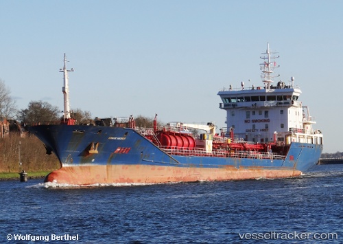
 MARMEA
Current Status
Where is the vessel?
MARMEA is currently in Near BENGHAZI, based on AIS data received about 2h ago.
Latest AIS update:
Current position: 32.13237° N, 19.92140° E (Near BENGHAZI)
Average speed (last 7 days): Loading…
Average speed (last 30 days): Loading…
Vessel profile: MARMEA is a Chemical/Oil Products Tanker with dimensions 122m x 16m.
This page combines live AIS, route history, probable destination signals, nearby traffic, and port activity for practical vessel monitoring.
The current position of vessel MARMEA is 32.13237 lat / 19.92140 lng. Updated: 2026-04-08 13:59:46 UTCNearest reference points:
- Near BENGHAZI
- Near Banghazi
- 61 nm N of Al Marj
Currently sailing under the flag of Liberia ![]()
MARMEA built in 2008 year
Deadweight:
6221 tDetails:
Live Vessel MARMEA Analytics (details, animations, etc.)
Recent AIS points (UTC):
2026-04-08 08:00:22 UTC · 32.14857, 19.94195 · SOG 0.1 kn · COG 289°2026-04-08 09:57:24 UTC · 32.14874, 19.94203 · SOG 0.2 kn · COG 287°
2026-04-08 11:57:24 UTC · 32.14866, 19.94204 · SOG 0.2 kn · COG 289°
2026-04-08 13:59:46 UTC · 32.13237, 19.92140 · SOG 5.9 kn · COG 180°