 vesseltracker.com
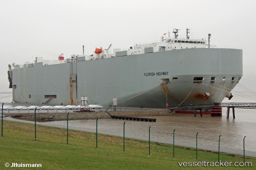
 Florida Highway
Current Status
Where is the vessel?
Florida Highway is currently in 170 nm W of Bolinao, based on AIS data received about 1h ago.
Latest AIS update:
Current position: 17.10570° N, 117.03022° E (170 nm W of Bolinao)
Average speed (last 7 days): Loading…
Average speed (last 30 days): Loading…
Vessel profile: Florida Highway is a Vehicles Carrier with dimensions 199m x 32m.
This page combines live AIS, route history, probable destination signals, nearby traffic, and port activity for practical vessel monitoring.
The current position of vessel Florida Highway is 17.10570 lat / 117.03022 lng. Updated: 2026-04-02 02:21:26 UTCNearest reference points:
- 138 nm NW of Bolinao
- 222 nm W of Iba
- 34 nm W of Iba
Currently sailing under the flag of Panama ![]()
Florida Highway built in 2008 year
Deadweight:
18930 tDetails:
Live Vessel Florida Highway Analytics (details, animations, etc.)
Recent AIS points (UTC):
2026-04-01 17:28:55 UTC · 18.82892, 118.90923 · SOG 16.5 kn · COG -1°2026-04-01 17:28:55 UTC · 18.82892, 118.90923 · SOG 16.5 kn · COG -1°
2026-04-01 17:28:55 UTC · 18.82892, 118.90923 · SOG 16.5 kn · COG -1°
2026-04-02 02:21:26 UTC · 17.10570, 117.03022 · SOG 16.6 kn · COG -1°