 vesseltracker.com
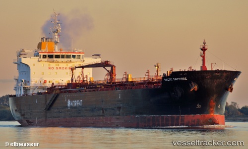
 SAPPHIRE
Current Status
Where is the vessel?
SAPPHIRE is currently in 126 nm W of Florida Straits, based on AIS data received about 7h ago.
Latest AIS update:
Current position: 24.79046° N, 85.27421° W (126 nm W of Florida Straits)
Average speed (last 7 days): Loading…
Average speed (last 30 days): Loading…
Vessel profile: SAPPHIRE is a Oil/Chemical Tanker with dimensions m x m.
This page combines live AIS, route history, probable destination signals, nearby traffic, and port activity for practical vessel monitoring.
The current position of vessel SAPPHIRE is 24.79046 lat / -85.27421 lng. Updated: 2026-03-27 05:53:48 UTCNearest reference points:
- 14 nm W of Florida Straits
- 78 nm SW of Boca Grande
- 62 nm SW of Anna Maria
Currently sailing under the flag of Marshall Islands ![]()
Details:
Live Vessel SAPPHIRE Analytics (details, animations, etc.)
Recent AIS points (UTC):
2026-03-27 03:29:39 UTC · 25.20660, -85.74198 · SOG 14.9 kn · COG 129°2026-03-27 05:53:48 UTC · 24.79046, -85.27421 · SOG 14.6 kn · COG 133°
2026-03-27 05:53:48 UTC · 24.79046, -85.27421 · SOG 14.6 kn · COG 133°
2026-03-27 05:53:48 UTC · 24.79046, -85.27421 · SOG 14.6 kn · COG 133°