 vesseltracker.com
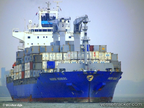
 SANTA MARTA EXPRESS
Current Status
Where is the vessel?
SANTA MARTA EXPRESS is currently in Near Skagens Odde, based on AIS data received less than 1h ago.
Latest AIS update:
Current position: 57.80143° N, 10.71693° E (Near Skagens Odde)
Average speed (last 7 days): Loading…
Average speed (last 30 days): Loading…
Vessel profile: SANTA MARTA EXPRESS is a Container Ship with dimensions m x m.
This page combines live AIS, route history, probable destination signals, nearby traffic, and port activity for practical vessel monitoring.
The current position of vessel SANTA MARTA EXPRESS is 57.80143 lat / 10.71693 lng. Updated: 2026-04-04 23:34:03 UTCNearest reference points:
- Near SKAGEN
- Near Frederikshavn
- Near SMOGEN
Currently sailing under the flag of Liberia ![]()
Details:
Live Vessel SANTA MARTA EXPRESS Analytics (details, animations, etc.)
Recent AIS points (UTC):
2026-04-04 17:36:04 UTC · 57.51480, 8.88595 · SOG 10 kn · COG 50°2026-04-04 19:59:02 UTC · 57.70799, 9.56781 · SOG 10.5 kn · COG 64°
2026-04-04 22:17:24 UTC · 57.80307, 10.27966 · SOG 10.3 kn · COG 90°
2026-04-04 23:34:03 UTC · 57.80143, 10.71693 · SOG 11.4 kn · COG 106°