 vesseltracker.com
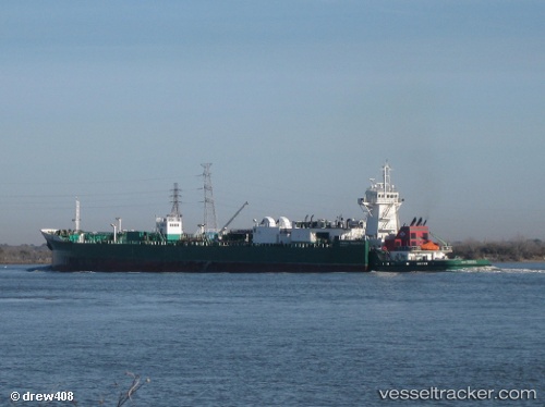
 Freeport
Current Status
Where is the vessel?
Freeport is currently in Near Leblanc, based on AIS data received less than 1h ago.
Latest AIS update:
Current position: 30.27628° N, 91.17376° W (Near Leblanc)
Average speed (last 7 days): Loading…
Average speed (last 30 days): Loading…
Vessel profile: Freeport is a Pusher Tug with dimensions 184m x 21m.
This page combines live AIS, route history, probable destination signals, nearby traffic, and port activity for practical vessel monitoring.
The current position of vessel Freeport is 30.27628 lat / -91.17376 lng. Updated: 2026-04-19 21:19:52 UTCNearest reference points:
- Near Brusly
- Near Baton Rouge
- Near Port Of South Louisiana
Currently sailing under the flag of USA ![]()
Freeport built in 2007 year
Deadweight:
1388 tDetails:
Live Vessel Freeport Analytics (details, animations, etc.)
Recent AIS points (UTC):
2026-04-19 18:08:37 UTC · 30.27629, -91.17379 · SOG 0 kn · COG 262°2026-04-19 19:26:40 UTC · 30.27629, -91.17378 · SOG 0 kn · COG 261°
2026-04-19 19:44:59 UTC · 30.27630, -91.17378 · SOG 0 kn · COG 261°
2026-04-19 21:19:52 UTC · 30.27628, -91.17376 · SOG 0 kn · COG 261°