 vesseltracker.com
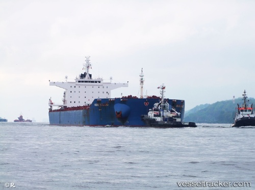
 Idomeneas
Current Status
Where is the vessel?
Idomeneas is currently in 22 nm E of Gonubie, based on AIS data received about 2h ago.
Latest AIS update:
Current position: 32.95341° S, 28.45187° E (22 nm E of Gonubie)
Average speed (last 7 days): Loading…
Average speed (last 30 days): Loading…
Vessel profile: Idomeneas is a Bulk Carrier with dimensions 250m x 43m.
This page combines live AIS, route history, probable destination signals, nearby traffic, and port activity for practical vessel monitoring.
The current position of vessel Idomeneas is -32.95341 lat / 28.45187 lng. Updated: 2026-04-19 19:06:01 UTCNearest reference points:
- 23 nm E of Port Saint John's
Currently sailing under the flag of Liberia ![]()
Idomeneas built in 2010 year
Deadweight:
114167 tDetails:
Live Vessel Idomeneas Analytics (details, animations, etc.)
Recent AIS points (UTC):
2026-04-19 15:59:38 UTC · -33.18566, 28.15148 · SOG 6.8 kn · COG 55°2026-04-19 16:08:22 UTC · -33.17740, 28.16962 · SOG 6.9 kn · COG 59°
2026-04-19 17:35:31 UTC · -33.07256, 28.31297 · SOG 6.7 kn · COG 44°
2026-04-19 19:06:01 UTC · -32.95341, 28.45187 · SOG 6.6 kn · COG 47°