 vesseltracker.com
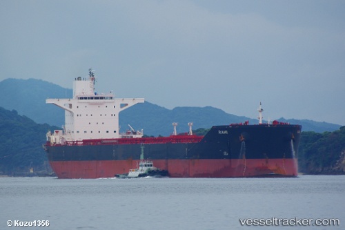
 OJAS
OJAS
Current Status
Where is the vessel?
OJAS is currently in 169 nm NW of Anse Kerlan, based on AIS data received about 3h ago.
Latest AIS update:
Current position: 2.70500° S, 53.35500° E (169 nm NW of Anse Kerlan)
Average speed (last 7 days): Loading…
Average speed (last 30 days): Loading…
Vessel profile: OJAS is a Bulk Carrier with dimensions 45m x 290m.
This page combines live AIS, route history, probable destination signals, nearby traffic, and port activity for practical vessel monitoring.
The current position of vessel OJAS is -2.70500 lat / 53.35500 lng. Updated: 2026-03-29 00:58:17 UTCNearest reference points:
- Near Mahé Island Apt
Currently sailing under the flag of Panama ![]()
OJAS built in 2011 year
Deadweight:
175264 tDetails:
Live Vessel OJAS Analytics (details, animations, etc.)
Recent AIS points (UTC):
2026-03-28 20:05:31 UTC · -1.87603, 53.85322 · SOG 12 kn · COG 210°2026-03-28 22:13:18 UTC · -2.24167, 53.62500 · SOG 11 kn · COG -1°
2026-03-28 23:43:16 UTC · -2.49667, 53.47667 · SOG 11 kn · COG -1°
2026-03-29 00:58:17 UTC · -2.70500, 53.35500 · SOG 11 kn · COG -1°