 vesseltracker.com
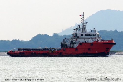
Sc Pailin
Current StatusWhere is the vessel?
Sc Pailin is currently in 48 nm NW of Muda Marine Terminal, based on AIS data received about 1h ago.
Latest AIS update:
Current position: 8.03333° N, 102.31167° E (48 nm NW of Muda Marine Terminal)
Average speed (last 7 days): Loading…
Average speed (last 30 days): Loading…
Vessel profile: Sc Pailin is a Offshore Tug Supply Ship with dimensions 15m x 59m.
This page combines live AIS, route history, probable destination signals, nearby traffic, and port activity for practical vessel monitoring.
The current position of vessel Sc Pailin is 8.03333 lat / 102.31167 lng. Updated: 2026-04-08 01:14:33 UTCNearest reference points:
- 45 nm NW of Muda Marine Terminal
- Near Muda Marine Terminal
- 46 nm W of Dai Hung (STS Load)
Details:
Live Vessel Sc Pailin Analytics (details, animations, etc.)
Recent AIS points (UTC):
2026-04-07 20:14:28 UTC · 7.98167, 102.29833 · SOG 0 kn · COG -1°2026-04-07 21:41:30 UTC · 7.98167, 102.29833 · SOG 0 kn · COG -1°
2026-04-07 23:17:29 UTC · 7.98167, 102.29833 · SOG 0 kn · COG -1°
2026-04-08 01:14:33 UTC · 8.03333, 102.31167 · SOG 3 kn · COG -1°