 vesseltracker.com
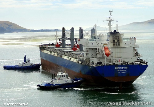
 ALEXANDRIS
Current Status
Where is the vessel?
ALEXANDRIS is currently in 232 nm SW of Galle, based on AIS data received less than 1h ago.
Latest AIS update:
Current position: 2.92167° N, 77.91833° E (232 nm SW of Galle)
Average speed (last 7 days): Loading…
Average speed (last 30 days): Loading…
Vessel profile: ALEXANDRIS is a Bulk Carrier with dimensions m x m.
This page combines live AIS, route history, probable destination signals, nearby traffic, and port activity for practical vessel monitoring.
The current position of vessel ALEXANDRIS is 2.92167 lat / 77.91833 lng. Updated: 2026-04-20 03:29:34 UTCNearest reference points:
- 94 nm SW of Galle
- 146 nm E of Koodoo Fisheries
Currently sailing under the flag of Liberia ![]()
Details:
Live Vessel ALEXANDRIS Analytics (details, animations, etc.)
Recent AIS points (UTC):
2026-04-19 23:56:37 UTC · 2.46667, 77.43833 · SOG 11 kn · COG -1°2026-04-20 01:26:35 UTC · 2.66333, 77.63833 · SOG 11 kn · COG -1°
2026-04-20 01:35:36 UTC · 2.68333, 77.65833 · SOG 11 kn · COG -1°
2026-04-20 03:29:34 UTC · 2.92167, 77.91833 · SOG 10 kn · COG -1°