 vesseltracker.com
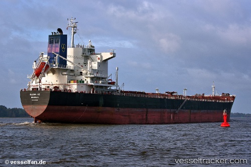
 Elena Ve
Current Status
Where is the vessel?
Elena Ve is currently in 62 nm S of Lenard Harbour, based on AIS data received less than 1h ago.
Latest AIS update:
Current position: 54.15009° N, 163.00792° W (62 nm S of Lenard Harbour)
Average speed (last 7 days): Loading…
Average speed (last 30 days): Loading…
Vessel profile: Elena Ve is a Bulk Carrier with dimensions 225m x 225m.
This page combines live AIS, route history, probable destination signals, nearby traffic, and port activity for practical vessel monitoring.
The current position of vessel Elena Ve is 54.15009 lat / -163.00792 lng. Updated: 2026-04-07 11:32:37 UTCNearest reference points:
- Near Lenard Harbour
Currently sailing under the flag of Liberia ![]()
Elena Ve built in 2010 year
Deadweight:
75750 tDetails:
Live Vessel Elena Ve Analytics (details, animations, etc.)
Recent AIS points (UTC):
2026-04-07 06:06:51 UTC · 54.30690, -164.76318 · SOG 9.3 kn · COG 109°2026-04-07 07:55:58 UTC · 54.25753, -164.20448 · SOG 11.6 kn · COG 102°
2026-04-07 10:14:28 UTC · 54.18834, -163.42783 · SOG 12 kn · COG 103°
2026-04-07 11:32:37 UTC · 54.15009, -163.00792 · SOG 11 kn · COG 108°