 vesseltracker.com
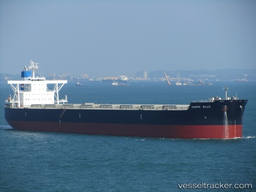
 BLUESHIP
Current Status
Where is the vessel?
BLUESHIP is currently in 76 nm S of Selat Lombok, based on AIS data received about 1h ago.
Latest AIS update:
Current position: 10.05798° S, 116.01519° E (76 nm S of Selat Lombok)
Average speed (last 7 days): Loading…
Average speed (last 30 days): Loading…
Vessel profile: BLUESHIP is a Bulk Carrier with dimensions m x m.
This page combines live AIS, route history, probable destination signals, nearby traffic, and port activity for practical vessel monitoring.
The current position of vessel BLUESHIP is -10.05798 lat / 116.01519 lng. Updated: 2026-04-03 12:46:45 UTCNearest reference points:
- Near LEMBAR
- 86 nm SE of BENETE
- Near BENOA
Currently sailing under the flag of Marshall Islands ![]()
Details:
Live Vessel BLUESHIP Analytics (details, animations, etc.)
Recent AIS points (UTC):
2026-04-03 07:48:15 UTC · -11.01993, 116.22262 · SOG 11.3 kn · COG 349°2026-04-03 09:38:46 UTC · -10.66790, 116.14399 · SOG 12.1 kn · COG -1°
2026-04-03 11:43:45 UTC · -10.25704, 116.05132 · SOG 11.5 kn · COG 353°
2026-04-03 12:46:45 UTC · -10.05798, 116.01519 · SOG 11.8 kn · COG 349°