 vesseltracker.com
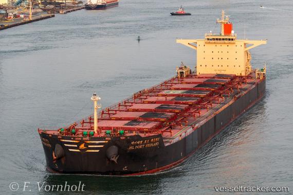
 HL PORT HEDLAND
Current Status
Where is the vessel?
HL PORT HEDLAND is currently in Open sea, approx. 471 nm off the nearest listed port, based on AIS data received about 1h ago.
Latest AIS update:
Current position: 19.54962° N, 136.32507° E (Open sea, approx. 471 nm off the nearest listed port)
Average speed (last 7 days): Loading…
Average speed (last 30 days): Loading…
Vessel profile: HL PORT HEDLAND is a Cargo with dimensions m x m.
This page combines live AIS, route history, probable destination signals, nearby traffic, and port activity for practical vessel monitoring.
The current position of vessel HL PORT HEDLAND is 19.54962 lat / 136.32507 lng. Updated: 2026-04-20 10:15:24 UTCNearest reference points:
- Open sea, approx. 471 nm off the nearest listed port
- Open sea, approx. 466 nm off the nearest listed port
- Open sea, approx. 468 nm off the nearest listed port
Currently sailing under the flag of Liberia ![]()
Details:
Live Vessel HL PORT HEDLAND Analytics (details, animations, etc.)
Recent AIS points (UTC):
2026-04-20 07:07:17 UTC · 19.11667, 136.72618 · SOG 11.3 kn · COG 314°2026-04-20 08:23:17 UTC · 19.29425, 136.57758 · SOG 10.9 kn · COG 314°
2026-04-20 08:58:27 UTC · 19.37308, 136.49741 · SOG 11.3 kn · COG 313°
2026-04-20 10:15:24 UTC · 19.54962, 136.32507 · SOG 10.8 kn · COG 318°