 vesseltracker.com
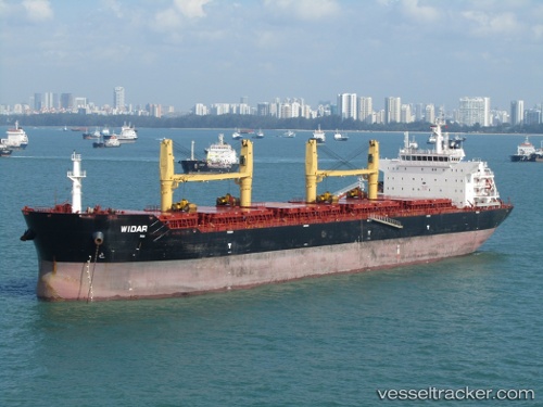
Al Rayan
Current StatusWhere is the vessel?
Al Rayan is currently in Near Cigading, based on AIS data received less than 1h ago.
Latest AIS update:
Current position: 6.01533° S, 105.95183° E (Near Cigading)
Average speed (last 7 days): Loading…
Average speed (last 30 days): Loading…
Vessel profile: Al Rayan is a Bulk Carrier with dimensions 32m x 190m.
This page combines live AIS, route history, probable destination signals, nearby traffic, and port activity for practical vessel monitoring.
The current position of vessel Al Rayan is -6.01533 lat / 105.95183 lng. Updated: 2026-04-21 04:20:37 UTCNearest reference points:
- Near Cigading
- Near CIWANDAN
- Near MERAK
Details:
Live Vessel Al Rayan Analytics (details, animations, etc.)
Recent AIS points (UTC):
2026-04-21 01:32:38 UTC · -6.01537, 105.95180 · SOG 0.1 kn · COG 127°2026-04-21 01:38:39 UTC · -6.01537, 105.95178 · SOG 0 kn · COG 127°
2026-04-21 03:35:38 UTC · -6.01533, 105.95183 · SOG 0.1 kn · COG 127°
2026-04-21 04:20:37 UTC · -6.01533, 105.95183 · SOG 0 kn · COG 127°