 vesseltracker.com
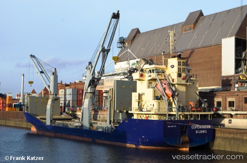
 MERATUS PROJECT PRIMA
Current Status
Where is the vessel?
MERATUS PROJECT PRIMA is currently in 77 nm N of Elat, based on AIS data received about 1h ago.
Latest AIS update:
Current position: 4.37333° S, 133.23666° E (77 nm N of Elat)
Average speed (last 7 days): Loading…
Average speed (last 30 days): Loading…
Vessel profile: MERATUS PROJECT PRIMA is a General Cargo Ship with dimensions 108m x 17m.
This page combines live AIS, route history, probable destination signals, nearby traffic, and port activity for practical vessel monitoring.
The current position of vessel MERATUS PROJECT PRIMA is -4.37333 lat / 133.23666 lng. Updated: 2026-04-19 11:30:10 UTCNearest reference points:
- Near Tual
- Near TANGGUH
- 29 nm E of Angar
Currently sailing under the flag of Indonesia ![]()
MERATUS PROJECT PRIMA built in 2011 year
Deadweight:
5627 tDetails:
Live Vessel MERATUS PROJECT PRIMA Analytics (details, animations, etc.)
Recent AIS points (UTC):
2026-04-19 07:51:09 UTC · -4.41667, 133.75333 · SOG 8 kn · COG -1°2026-04-19 09:51:09 UTC · -4.41667, 133.46500 · SOG 8 kn · COG -1°
2026-04-19 10:03:10 UTC · -4.41500, 133.43668 · SOG 8 kn · COG -1°
2026-04-19 11:30:10 UTC · -4.37333, 133.23666 · SOG 8 kn · COG -1°