 vesseltracker.com
 PRINCESS NATALIE
Current Status
Where is the vessel?
PRINCESS NATALIE is currently in Near ZHANJIANG, based on AIS data received less than 1h ago.
Latest AIS update:
Current position: 21.15340° N, 110.40723° E (Near ZHANJIANG)
Average speed (last 7 days): Loading…
Average speed (last 30 days): Loading…
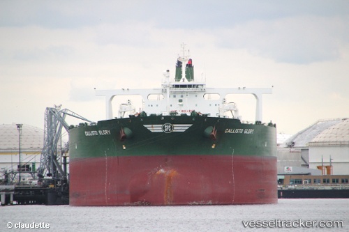
Vessel profile: PRINCESS NATALIE is a Crude Oil Tanker with dimensions 60m x 333m.
This page combines live AIS, route history, probable destination signals, nearby traffic, and port activity for practical vessel monitoring.
The current position of vessel PRINCESS NATALIE is 21.15340 lat / 110.40723 lng. Updated: 2026-04-17 21:23:11 UTCNearest reference points:
- Near Zhanjiang Pt
- Near Naozhou
- Near Wuchuan
Currently sailing under the flag of Cyprus ![]()
PRINCESS NATALIE built in 2011 year
Deadweight:
320261 tDetails:
Live Vessel PRINCESS NATALIE Analytics (details, animations, etc.)
Recent AIS points (UTC):
2026-04-17 15:47:04 UTC · 21.15338, 110.40722 · SOG 0.1 kn · COG 4°2026-04-17 17:56:04 UTC · 21.15341, 110.40718 · SOG 0 kn · COG 4°
2026-04-17 19:56:01 UTC · 21.15338, 110.40722 · SOG 0 kn · COG 4°
2026-04-17 21:23:11 UTC · 21.15340, 110.40723 · SOG 0.2 kn · COG 4°