 vesseltracker.com
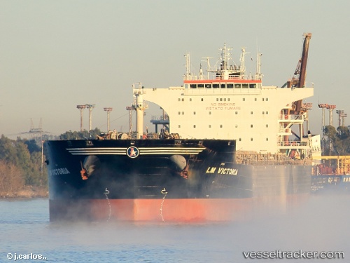
 GOLDEN ROSE
Current Status
Where is the vessel?
GOLDEN ROSE is currently in 20 nm E of Kaliorang, based on AIS data received about 3h ago.
Latest AIS update:
Current position: 0.73835° N, 118.18819° E (20 nm E of Kaliorang)
Average speed (last 7 days): Loading…
Average speed (last 30 days): Loading…
Vessel profile: GOLDEN ROSE is a Bulk Carrier with dimensions 38m x 229m.
This page combines live AIS, route history, probable destination signals, nearby traffic, and port activity for practical vessel monitoring.
The current position of vessel GOLDEN ROSE is 0.73835 lat / 118.18819 lng. Updated: 2026-04-22 23:54:33 UTCNearest reference points:
- Near LUBUKTUTUNG
- Near TANJUNG BARA
- 69 nm E of Kaliorang
Currently sailing under the flag of Indonesia ![]()
GOLDEN ROSE built in 2010 year
Deadweight:
93318 tDetails:
Live Vessel GOLDEN ROSE Analytics (details, animations, etc.)
Recent AIS points (UTC):
2026-04-22 19:30:33 UTC · 0.73728, 118.19089 · SOG 0.2 kn · COG 340°2026-04-22 21:21:32 UTC · 0.73770, 118.19068 · SOG 0.2 kn · COG 331°
2026-04-22 22:12:32 UTC · 0.73833, 118.18836 · SOG 0 kn · COG 59°
2026-04-22 23:54:33 UTC · 0.73835, 118.18819 · SOG 0.1 kn · COG 65°