 vesseltracker.com
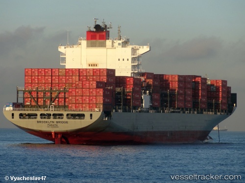
 BROOKLYN BRIDGE
Current Status
Where is the vessel?
BROOKLYN BRIDGE is currently in 39 nm S of SATTAHIP, based on AIS data received about 1h ago.
Latest AIS update:
Current position: 11.99976° N, 100.75208° E (39 nm S of SATTAHIP)
Average speed (last 7 days): Loading…
Average speed (last 30 days): Loading…
Vessel profile: BROOKLYN BRIDGE is a Container Ship with dimensions m x m.
This page combines live AIS, route history, probable destination signals, nearby traffic, and port activity for practical vessel monitoring.
The current position of vessel BROOKLYN BRIDGE is 11.99976 lat / 100.75208 lng. Updated: 2026-04-12 18:05:39 UTCNearest reference points:
- 33 nm S of SATTAHIP
- 11 nm S of Map Ta Phut
- Near SATTAHIP
Currently sailing under the flag of Japan ![]()
Details:
Live Vessel BROOKLYN BRIDGE Analytics (details, animations, etc.)
Recent AIS points (UTC):
2026-04-12 12:17:41 UTC · 11.99951, 100.75083 · SOG 0.1 kn · COG 156°2026-04-12 13:47:35 UTC · 11.99962, 100.75089 · SOG 0.1 kn · COG 162°
2026-04-12 15:41:44 UTC · 11.99972, 100.75122 · SOG 0 kn · COG 170°
2026-04-12 18:05:39 UTC · 11.99976, 100.75208 · SOG 0 kn · COG 186°