 vesseltracker.com
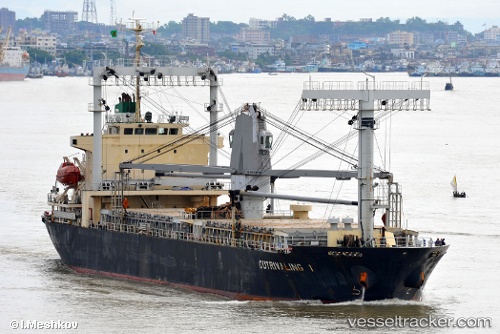
 Mariwit
Current Status
Where is the vessel?
Mariwit is currently in Near Guangzhou, based on AIS data received less than 1h ago.
Latest AIS update:
Current position: 22.87776° N, 113.57318° E (Near Guangzhou)
Average speed (last 7 days): Loading…
Average speed (last 30 days): Loading…
Vessel profile: Mariwit is a General Cargo Ship with dimensions 119m x 19m.
This page combines live AIS, route history, probable destination signals, nearby traffic, and port activity for practical vessel monitoring.
The current position of vessel Mariwit is 22.87776 lat / 113.57318 lng. Updated: 2026-04-13 09:57:02 UTCNearest reference points:
- Near Guangzhou
- Near DONG GUAN
- Near Xinsha
Currently sailing under the flag of Panama ![]()
Mariwit built in 2009 year
Deadweight:
11500 tDetails:
Live Vessel Mariwit Analytics (details, animations, etc.)
Recent AIS points (UTC):
2026-04-13 04:25:02 UTC · 22.87772, 113.57310 · SOG 0 kn · COG 6°2026-04-13 05:31:01 UTC · 22.87784, 113.57308 · SOG 0 kn · COG 6°
2026-04-13 07:22:07 UTC · 22.87788, 113.57304 · SOG 0 kn · COG 6°
2026-04-13 09:57:02 UTC · 22.87776, 113.57318 · SOG 0 kn · COG 6°