 vesseltracker.com
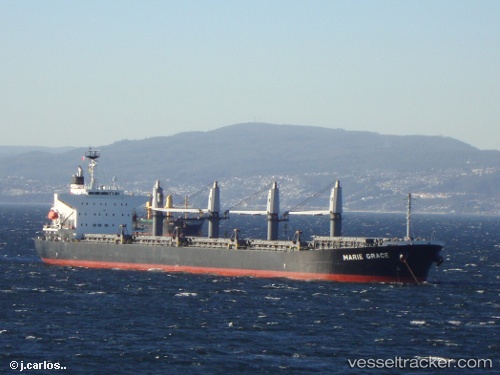
Marie Grace
Current StatusWhere is the vessel?
Marie Grace is currently in Near SANTAREM, based on AIS data received about 2h ago.
Latest AIS update:
Current position: 2.41502° S, 54.73190° W (Near SANTAREM)
Average speed (last 7 days): Loading…
Average speed (last 30 days): Loading…
Vessel profile: Marie Grace is a Bulk Carrier with dimensions 32m x 190m.
This page combines live AIS, route history, probable destination signals, nearby traffic, and port activity for practical vessel monitoring.
The current position of vessel Marie Grace is -2.41502 lat / -54.73190 lng. Updated: 2026-03-29 21:25:05 UTCNearest reference points:
- 15 nm NW of SANTAREM
Details:
Live Vessel Marie Grace Analytics (details, animations, etc.)
Recent AIS points (UTC):
2026-03-29 15:28:05 UTC · -2.41512, -54.73188 · SOG 0 kn · COG 289°2026-03-29 17:31:05 UTC · -2.41505, -54.73183 · SOG 0 kn · COG 289°
2026-03-29 19:31:05 UTC · -2.41510, -54.73185 · SOG 0 kn · COG 289°
2026-03-29 21:25:05 UTC · -2.41502, -54.73190 · SOG 0 kn · COG 289°